Mercury to Hit 32°C Before Sharp Afternoon Change and Showers
Extreme Heat and Total Fire Ban Alerts
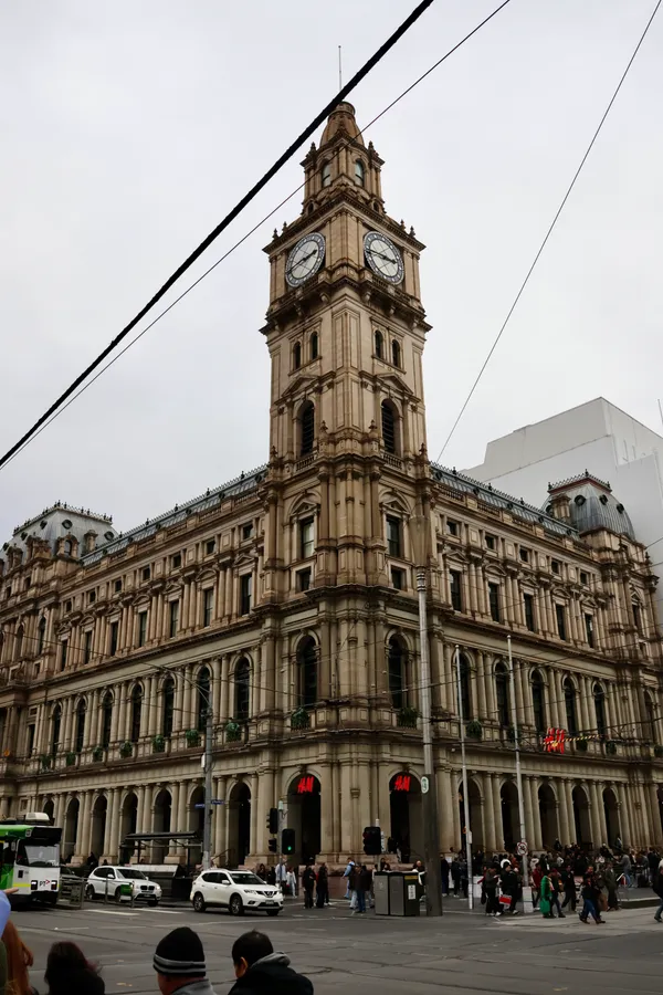
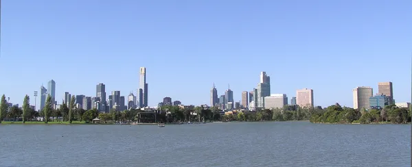
Melbourne is bracing for a day of dramatic meteorological shifts this Wednesday, 11 February 2026. Residents should prepare for a brief but intense burst of high heat and significant fire risk before a sharp cool change sweeps across the state in the early afternoon. The Bureau of Meteorology and the Country Fire Authority have issued critical warnings as the city faces a 'one-day wonder' of summer extremes.
A Total Fire Ban has been declared for the Central district, which includes the Melbourne metropolitan area, effective from 12:01 AM until 11:59 PM today. This restriction comes as fire agencies categorize the fire danger as 'extreme' across much of Victoria. The combination of high temperatures, low humidity, and gusty winds has created a dangerous environment where any new fire starts could be incredibly difficult for emergency services to control. Melburnians are reminded that no fires may be lit in the open air during this period.
Morning Forecast: Wind and Rising Temperatures
The morning will begin with clear skies and a mostly sunny outlook, but the temperature is expected to climb rapidly. Driven by hot north-westerly winds averaging 30 to 40 km/h, the mercury will likely reach its peak of 32°C by midday. Some areas may see even stronger gusts, particularly in the northern suburbs and more exposed coastal regions. Humidity levels will remain low throughout the morning, contributing to the parched conditions and elevated fire risk.
The Afternoon Change and Evening Showers
Relief is expected to arrive mid-afternoon as a gusty south-westerly change crosses the city between 12:00 PM and 2:00 PM. This shift will bring a noticeable and immediate drop in temperature, with winds turning south-westerly at speeds of 20 to 30 km/h. Residents should be prepared for a quick transition from sweltering heat to much cooler conditions within a very short window.
As the afternoon progresses, the likelihood of rainfall increases significantly. While the morning remains dry, there is a high probability of showers developing by late afternoon and continuing into the evening. Forecasters suggest a 50% to 80% chance of rain, which may provide some relief to the dry landscape. The minimum temperature tonight is expected to settle around 16°C.
Looking Ahead: A Staggering Temperature Drop
The impact of today’s cool change will be felt most strongly on Thursday, when the maximum temperature is forecast to reach just 18°C—a staggering 14-degree decrease from today's peak. For today, the priorities remain staying hydrated, adhering to fire ban restrictions, and keeping an umbrella ready for the late-day showers.
Lunar New Year Fireworks and Live Orchestral Cinema: Melbourne’s Tuesday Highlights
The Sizzle and the Shutdown: Your Melbourne Morning Briefing
Significant Overnight Closures on Tullamarine Freeway and Ongoing Eastern Freeway Delays